Passed from Seymour into Odin, IL, where a blackbird was sitting on the town sign doing his best impression of one of Odin's ravens. Then, on to Center City, "Home of Andy J. Kindle, Emmy-Award Winning Television Director". Center City flowed into Centralia, "Home of the Winningest Basketball Team in the World", where I lost 50 West and somehow ended up on 51 South. Stopped at a Huck's to get re-oriented. Gentleman behind the counter nodded toward the Pony and commented, "That's a nice little ticket-getter". I had to admit he was right.
Passed through Carlysle, where the sign proclaimed, "See Illinois' Largest Lake!" I didn't see any of the lake, but found it amusing that the sign was placed in front of a tiny little fish hatchery pond. Stopped in Lebanon for tea and spinach quiche at a little teahouse-type cafe. 50 in IL so far is a good cruising road-- mostly straight and flat, two lanes with a divided yellow line down the middle to allow passing.
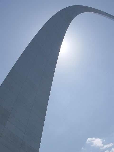
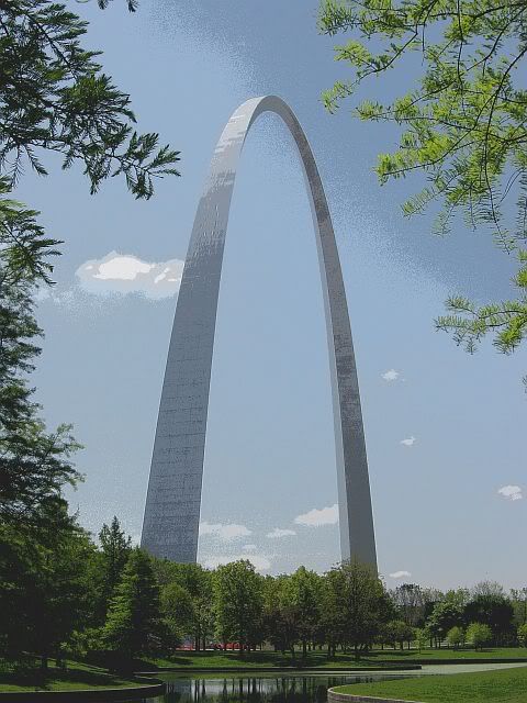
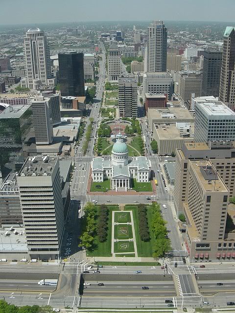
Of course, I had to stop and do the tourist thing at the Gateway Arch in St. Louis (or, properly, the Jefferson National Expansion Memorial). Quick factoid: The Arch is 630 feet tall at its highest point, and the same number of feet wide from one base to the other. Riding to the top was very interesting-- the teeny spaceship-escape-pod-looking trams you ride in seem to be the originals with a fresh coat of paint. I was also surprised that I didn't get motion sick on the way up or down. The view, of course, was pretty cool. According to a laconic ranger, you can see for 30 miles.
Wandered over to Lacledes Landing (the hip, touristy area that I have no idea how to pronounce) to find postcards and lunch.
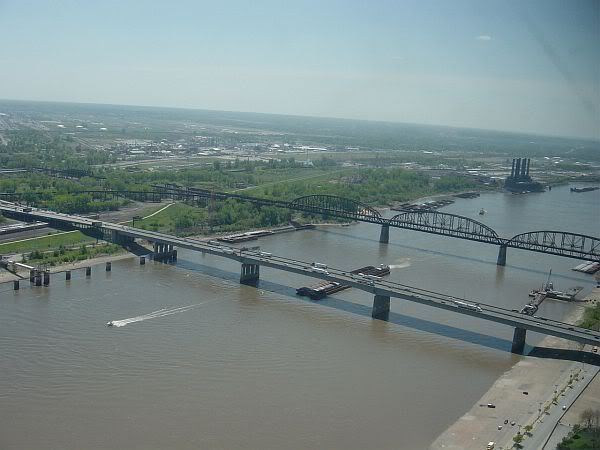
I wish I could say something about the mighty Mississippi River, which I crossed from IL to MO. Unfortunately, the section near the St. Louis riverfront is just wide, slow, muddy and totally un-impressive. West of St. Louis, though, was another serendipitous moment: I saw a sign for Route 66 State Park and just had to check it out.
Apparently, 66 ran across the Meramec River at a spot called Times Beach. The nearby town had to be closed down for environmental reasons and has been turned into what seems to be a very nice state park with hiking/biking/equestrian trails and river access. The park entrance is a section of route 66 that crossed the Meramec.
The Pony and I drove through and paid homage to the Mother Road.
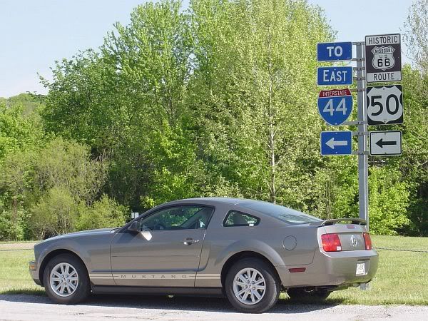
Missouri has been a mix of Illinois flats with just a bit of rolling mountain (the Ozarks, I think). The road has been smooth, though, with wide, looping curves over and around the hills, not the tighter 'S' curves of WV and OH. Can't really mention any specific towns I passed through, unfortunately. An hour or so past Route 66 Park, I realized that things were beginning to blur together and it actually surprised me to think that my hike at Starve Hollow two states ago was just yesterday morning. I'm going to have to go back and re-read what I've written every few days to keep myself oriented.
Ended up in Sedalia, MO, about 7:30 pm with 285 miles on the trip odometer, so I checked in to a Comfort Inn and headed out to find Le Maire's (a Cajun-style seafood place mentioned at the Road Trip USA website) for dinner. Fried alligator, red beans, rice, and hush puppies. I'd better damned well find a place to hike tomorrow in Kansas.
Day 4 Wal-Mart count, as of Sedalia= 8, plus 2 distribution centers.


No comments:
Post a Comment