I have to note that I'm not sure the manager at Hertz realized what he was doing in giving me a car with only 1397 miles on it. It's going to be well broken in by the time I reach San Francisco.
Romney, WV. My parents have property in Romney that I've only visited once. Shame I haven't gotten out there more, I noticed a handful of reasons to go back: Indian Mound Cemetery, just west of town, looks to have some serious photo opportunities; South Branch River (south branch of the Shenandoah?) looks very paddle-able and I think I've seen mention of it at the Monocacy Canoe Club message board; Civil War history that I've read about and should check out the sites of.
Through VA, WV, the little bottom tip of MD that cuts down into WV, and into WV again, the road has been lined with blooming redbud trees. Once the road hits the Mononghehela area, though, the redbuds give way to hemlocks.
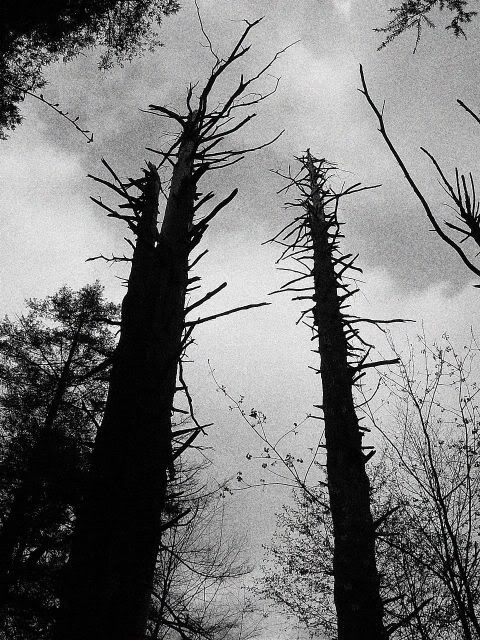
Stopped for a hike through Cathedral State Park. Very pretty, very tiny park of hemlock, rhodedendrons and moss. (Post-trip note: The hemlocks here are like baby cousins to what's to come at the end of the trip.)

Coming down from Cheat Mountain felt very much like driving around Savage Mountain, in Garrett County, MD, but more so. Deeper ravines and higher mountains than around Savage, and I kept wishing there was a spot to pull over and snag a photo. At the bottom, running parallel to the Cheat River, I kept crossing over into the oncoming traffic lane as I craned my neck to check out the river conditions (there were no other cars coming). This is not too far from home to come back and do some kayaking.
Observation: WV apparently does not believe in maintaining a yellow dividing line on curvy mountain roads. Tons of fun (not) when a car's coming towards you.
Today I wore out the phrase, "Ooh, how cool!"
West of Grafton, WV: Stopped on the side of the road to take photos of a cool old house and a portion of Pruntytown State Farm WMA.
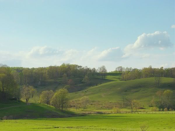
The road through the mountains kept causing me to stomp on the brakes to be able to check out the view. From Clarksburg to Parkersburg, 50 widened to four lanes. A smooth 80-85 mph through beautiful mountains reminiscent of Allegheny County, MD, only more so. The town of Bridgeport seemed like Cumberland, MD, crossed with north Baltimore. The views from Grafton through Parkersburg have been so pretty and "Ooh, aah", I have to remind myself that the trip's only just begun.
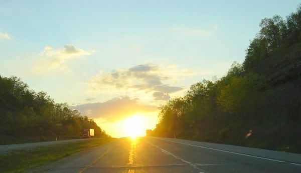
Checked into a Holiday Inn on the edge of Parkersburg around 8:30 pm.


No comments:
Post a Comment